|
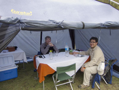
Dec 9 – Fri. Its been a week since we let the US and time did fly-by. Today
we take a major step toward the next part of our travels. We leave Ecuador and
cross to Peru, land of the Incas. We get up at 4:30 am in order to be
transported to the airport. Our destination is the Sacred Valley of Peru. But
first we must go through the Lima airport and fly to Cusco, Peru. Due to an air
traffic controller strike we spent close to 6 hours hanging out in the airport
and another 1 1/2 on board before take-off. The landing in Cusco is as well
known as Paro’s airport in Bhutan for its narrow valley and difficult descent.
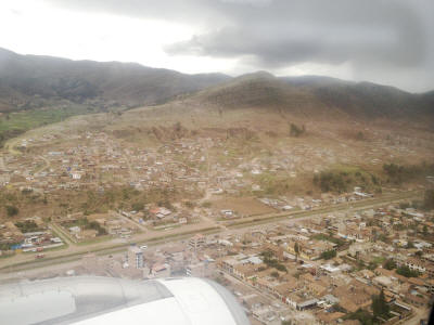 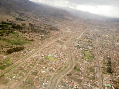
We land about 3:30 in Cusco and were met by our guide who escorted us to the
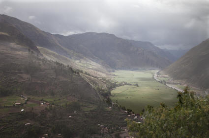
Sacred Valley. We timed our visit for the first rain of the season so
our mountain drive from 11,500 ft to 13,000 back down to 9,500 was a little
hairy on the narrow windy roads. We spot the major glaciated peaks of the
Cordillera Vilcabamba and Vilcanota ranges while passing agricultural fields of
potatoes and fava beans. The country oddly is conducting a major planting
campaign of Eucalyptus trees for ground cover, timber and medicinal purposes.
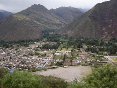
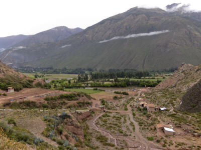
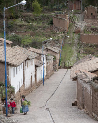
The Sacred Valley runs roughly from Pisac down to the town of Ollantaytambo. We
arrive in the town of Urubamba in the valley of the Vilcanota river where the
snow capped mountains are said to be the guardians of the deities of the Incas.
It also was the home of Paul Simon for several months in the ’70s. The valley is
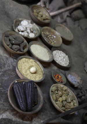
rich in agriculture- everywhere corn is growing along with plots of potatoes
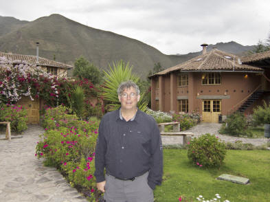
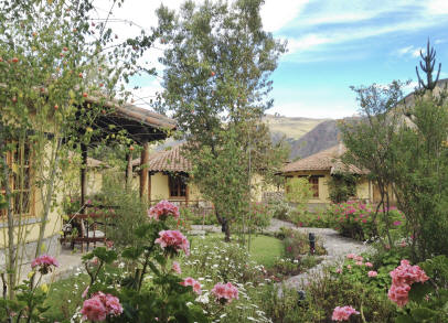
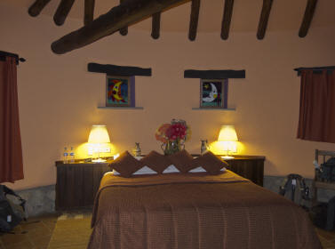
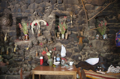
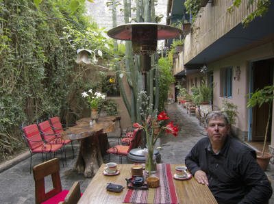
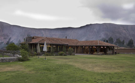
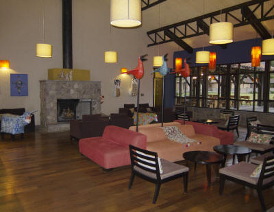
planted high on the hillsides. Our home for a few days is the Sol y Luna Lodge
and its companion property Wayra. Surrounded by gardens the casitas are so
comfortable you forget that you traveled a great distance to explore this
ancient valley. We walked to the stables and throughout the grounds before an
early dinner at Killa Wassi restaurant in the lodge.
Dec 10 – Sat. This had to be the latest (7:30 AM) we have been able to sleep in
since we left on sabbatical a week ago. At 9, we met our guide and driver for a
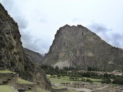
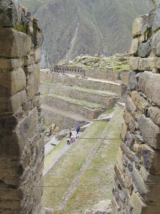
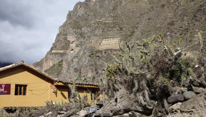
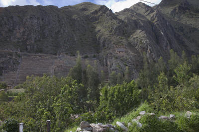
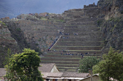
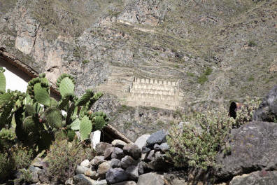
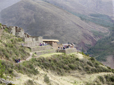
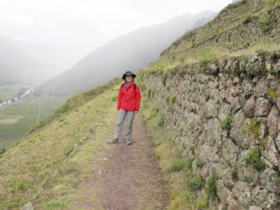
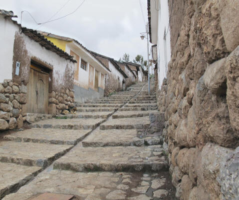
trip up to Ollantaytambo, known as a living Inca town. While it was early we
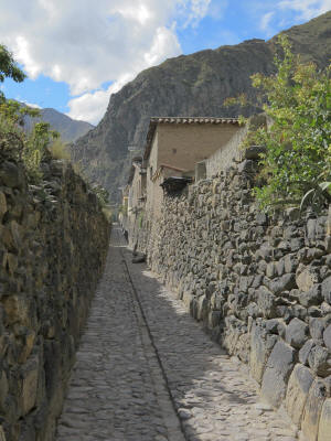
visited the fortress, Araqama Ayliu, sited on a series of carved stone terraces
built to protect the city. Although never completed, It was designed to include
the Temple of the Sun, the Royal Hall, the Princess baths, and the markers to
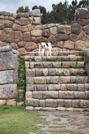
trace the sun’s migration by solstice during the year. The stonework of the
fortress is a combination of carved form fitting rock and more random masonry
work. The rocks are fitted by T-joints filled with a molten bronze unseen on the
outside. The quarry is on an adjacent mountain so the hauling of these heavy
rocks was no small engineering feat.
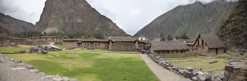
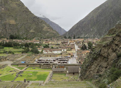 
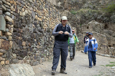 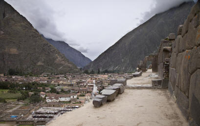
 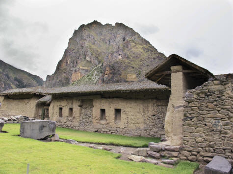
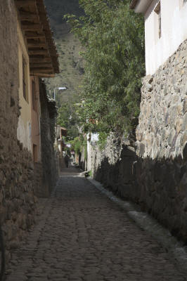
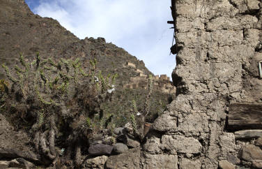
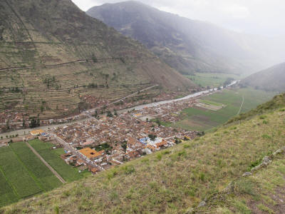
The city has never been built over by the Spanish so it remains as originally
laid out by the Incas. History has it that the Inca general, Ollanta, fell in
love with the 9th ruler, Pachacutec’s daughter and was forced to leave the city
until after the father’s death when he became reunited with her. The town is
known for one of the greatest Inca’s victory over the Spaniards although short
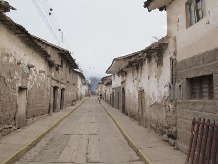
lived when it was reconquered in 1537. In the town there are open channels for
running water originally used for sanitation but now for agricultural purposes,
the streets are all cobblestone and the houses are laid out in communal
“chancha” style of several houses facing a small common interior courtyard.
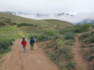
We drive up the Patacancha gorge from Ollantaytambo to the villages of
Patacancha and Willoq. This is a narrow windy dirt road some of which sits on
the edge of the gorge. It often washes out or there are rock slides that prevent
passage. We are fortunate that there were only a few heart stopping moments as
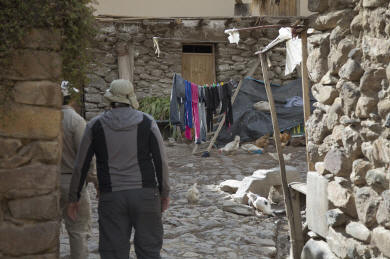
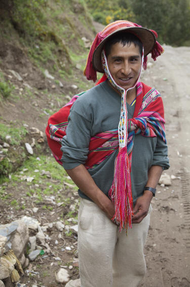
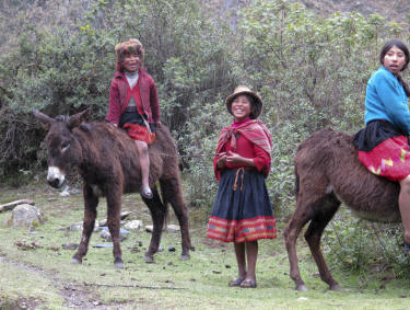
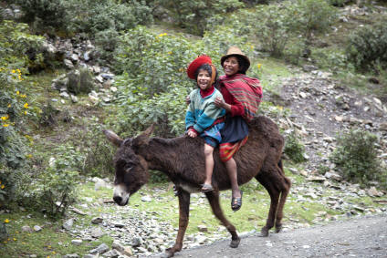
we look down and see no road beneath us. The villagers from this area are
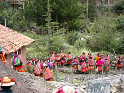
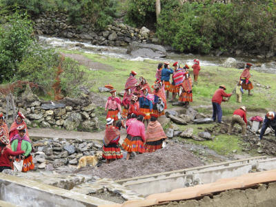
referred to as “huayruro” referring to their red and black colors of dress –
huayruro is a red and black ornamental seed from the Amazon. Everywhere people
are walking along the road. We stop to pick up a porter returning home from the
Inca Trail. The men and women of Willoq are working side by side on building a
fishery for raising trout to sell. The community owns land and works commonly
for it livelihood. We do some walking from one village down the mountain
following the road. Where corn beer is sold along the way, a red plastic bag is
hung out on a pole beside a house. There are a number of drinkers this morning.
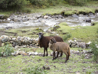
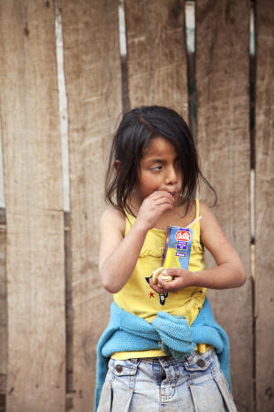
Our lunch is by the river and we arejoined by 4 young girls who are
supposed to be minding their sheep but instead find us much more interesting.
We have dinner in Urubamba at a great place Huaychuca.
Dec 11 - Sun.
Lets just be honest so there is no mistaking the weather. It has been raining
ever since we arrived in Peru. Yes, this means our daily hikes are in the rain
and when it is 4 pm the sun comes out and clears up for a few hours just as we
finish our outdoor activities.
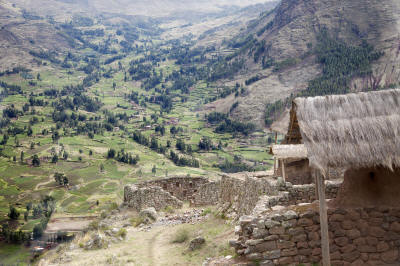 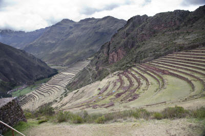
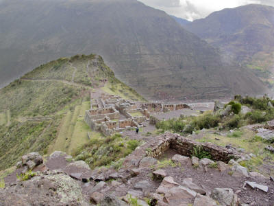 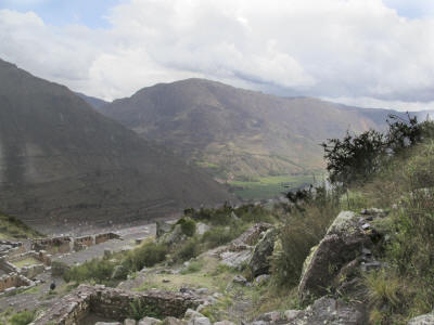
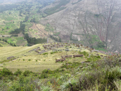 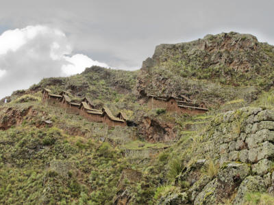
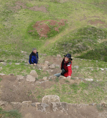
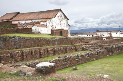
Today, we drive up the Patacancha valley to Pisac, another significant Inca
ruin site. Inhabited since the 10th or 11th Century, it is strategically located
for military and agricultural purposes. As it grew in population its purpose
grew from a military post to a ceremonial and residential center. The mountains
are terraced on both sides of the valley and follow the curvature of the hill
sides. The hilltop fort (1900 ft above) is accessed by a series of terraces used
for agriculture and steep paths. Storage sites were built into the mountain as
well as watch towers, residential and military housing, ceremonial baths and the
Templo del Sol, an astronomical observatory. The Intihuatana including a sun
dial was used to track the sun's movements. We note the same precision
in
stonemasonry as was seen at Ollantaytambo. We finish our hike down and walk directly
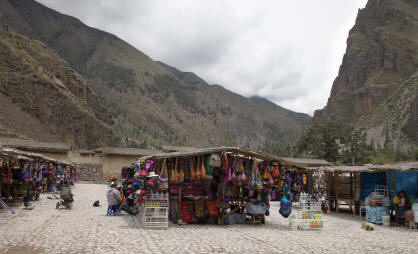
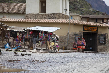
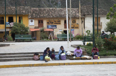
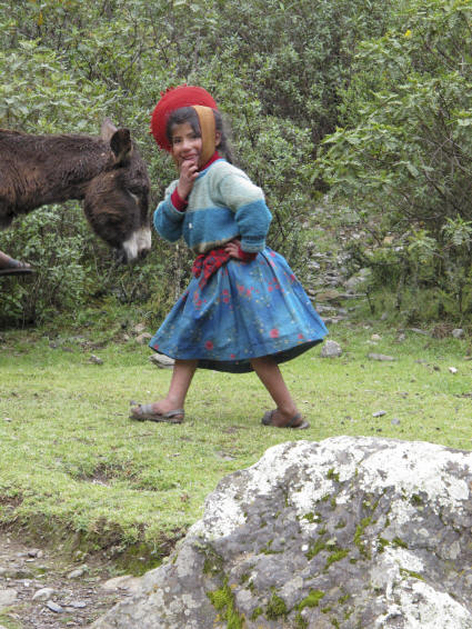
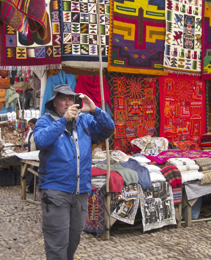
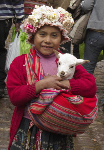
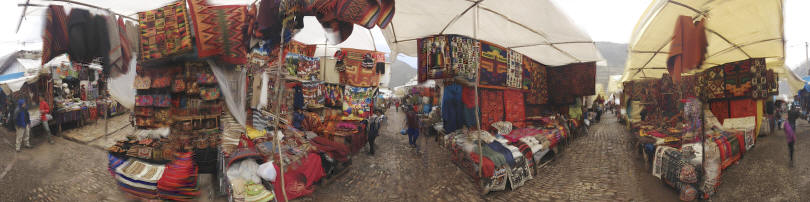
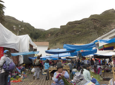
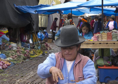
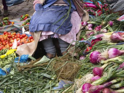
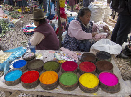
into the Sunday market held in the town center. One is able to purchase Peruvian
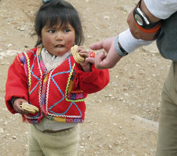
as well as Chinese wares here. It is geared toward tourists with little girls
walking along caring baby lambs for photo opportunities.
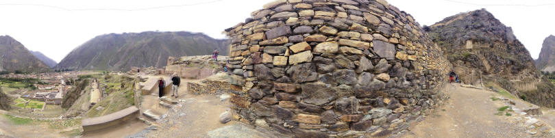
A cross-cultural exchange has arisen from our travels. While in the
Galapagos, one of our guides introduced Jon to the use of an IPhone program
"360" which does exactly what the name implies, it creates a complete circular
picture by standing in one position and shooting. Jon immediately purchased the
app ($ .99) and has been using it at every vista in the Sacred Valley. Now the
Ecuadorian find has been passed on to an American who has now passed it on to
our Peruvian guide.
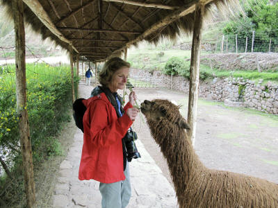
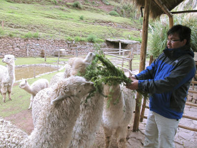
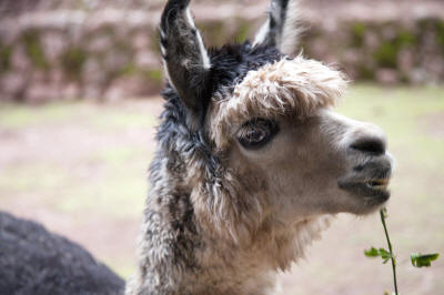
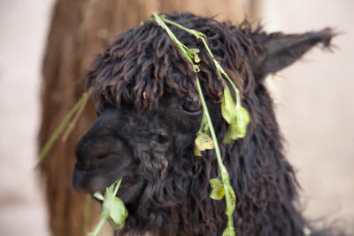
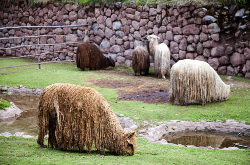
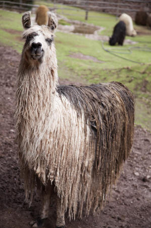
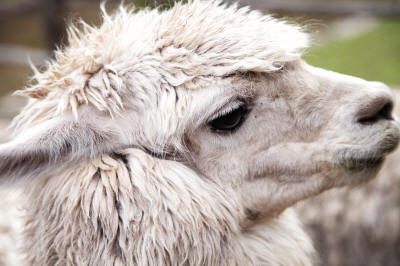
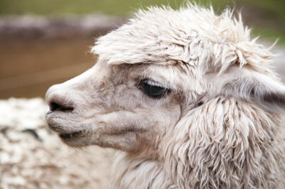
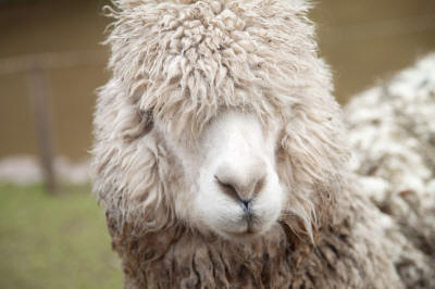
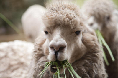
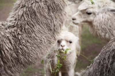
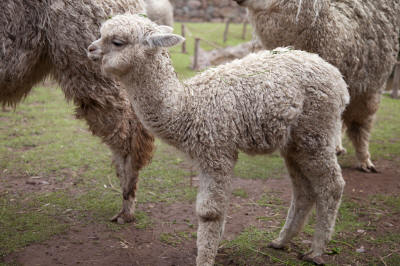
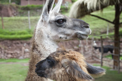
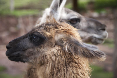
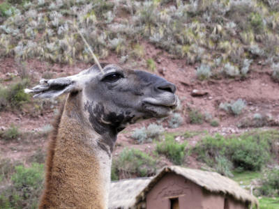
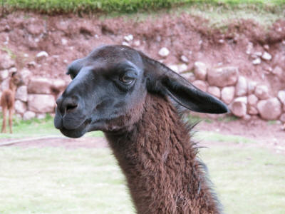
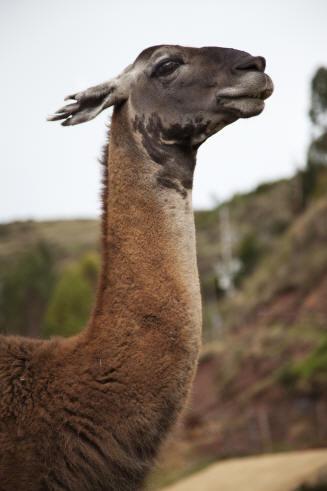
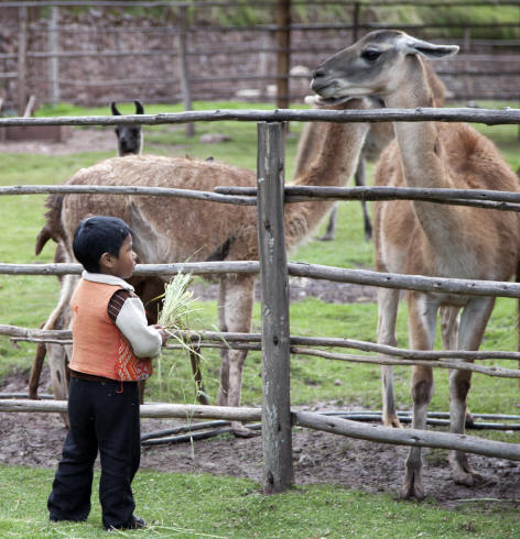
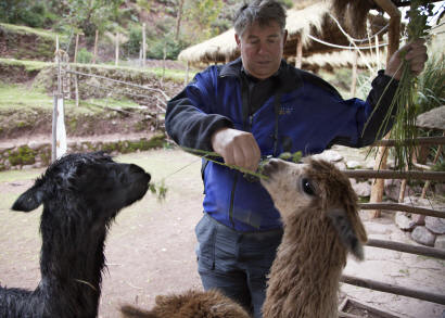
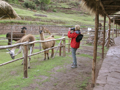
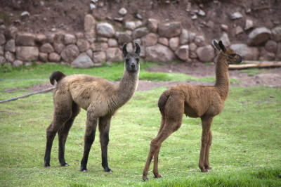
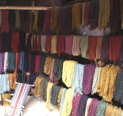
We lunch in town and head out to a lama farm/weaving coop run by a group of
Peruvian families. There are llamas, alpacas and vicuńas of all types waiting to
be fed. No sense in trying to pet these camel descendants, they don't like to be
touched and will spit if given no other choice.
Lamas, Vicunas, alpacas... Oh My.
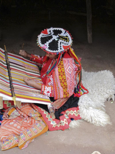
There is an exhibit on
weaving from the hair of the llama until the final product.
Natural plants, seeds, and dried beetles are used for dyes, baby Peruvian boy's
urine sets the dyes and the women spin the yarn constantly. Weaving of intricate
pieces is done through a traditional backstrap loom. The items are sold in coop
stores and throughout the local markets.
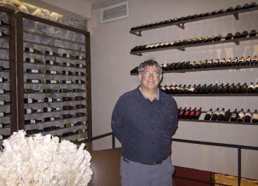
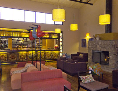
This evening we have dinner at Wayra. The lodge is
decorated with Peruvian art objects and the wine cellar is enviable.
Dec 12 – Mon. No worries - it is going to rain.
We will be moving out of Urubamba and back to Cusco by
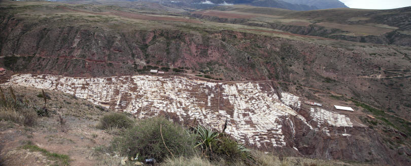
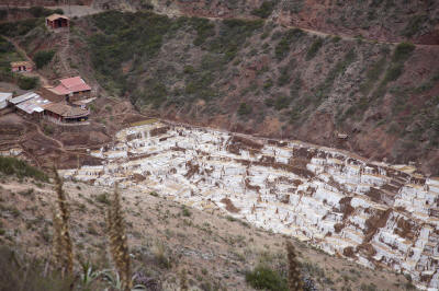
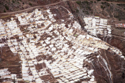
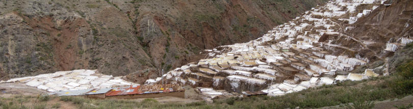
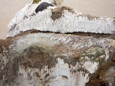
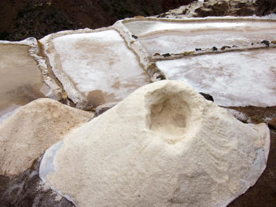
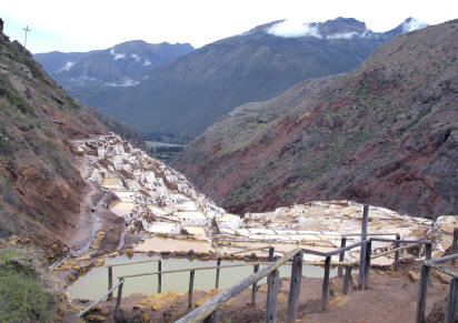
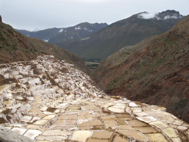
the end of the day. We begin the day with a hike up to the salt mines of Maras.
Here several families have formed a cooperative to take over the harvesting of
salt when the Morton Salt Company was nationalized. The water from a warm
springs in the mountain is used to fill the thousands of small pools on the hill
side for evaporation. We walk through the pools and it is reminiscent of walking
along the hillside rice paddies of Viet Nam except all around us are salt
mounds.
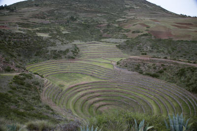
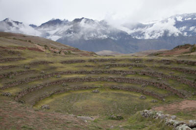
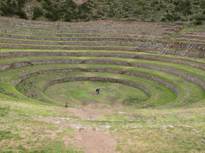
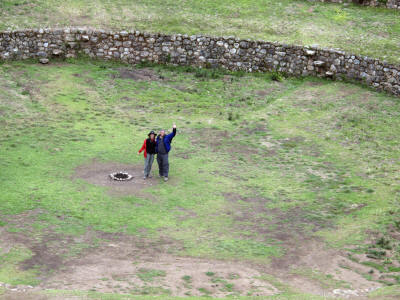
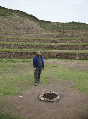
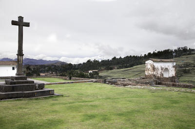
From here we move to Moray where our initial reaction to the archeological site
is the viewing of a Greek amphitheater. However, it is believed to have been a
giant crop laboratory used by the Incas. Four giant limestone sinkholes were
terraced concentrically providing unique temperature and soil conditions for
varied cultivation of crops. A complete system of irrigation and drainage
allowed these deep terraces to take advantage of different sun and water
ecosystems.
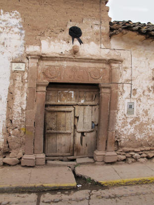
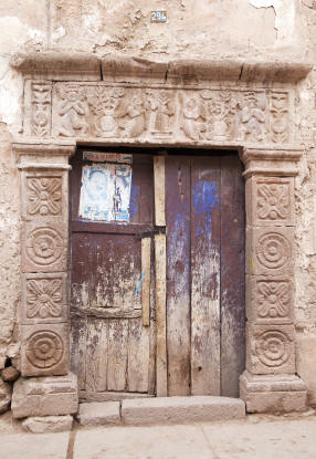
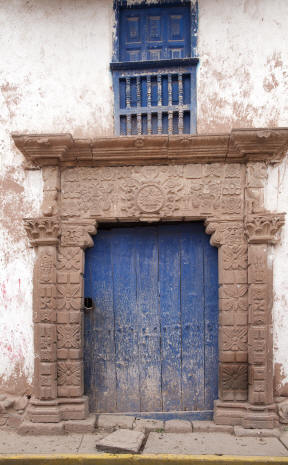
Above in the town of Maras, we walk by many of the colonial doorways
from families tracing back to Incan times.
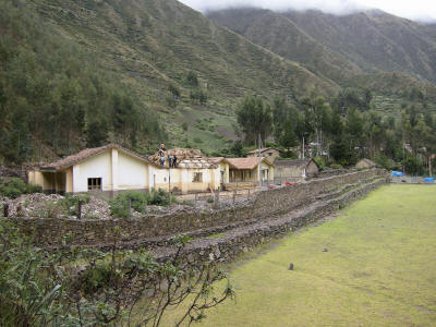
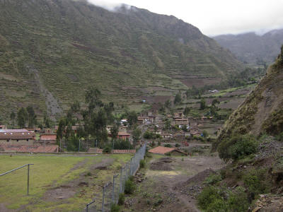
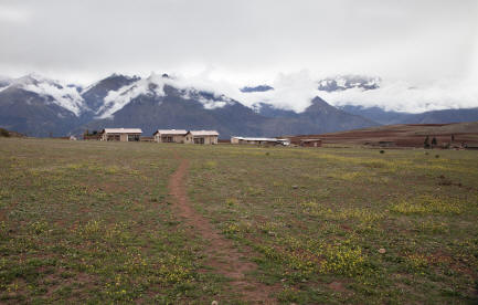
We continue on to the Pampa de Anta, a large agricultural plain overlooking the
Sacred Valley. The village of Chincheros continues to serve as an administrative
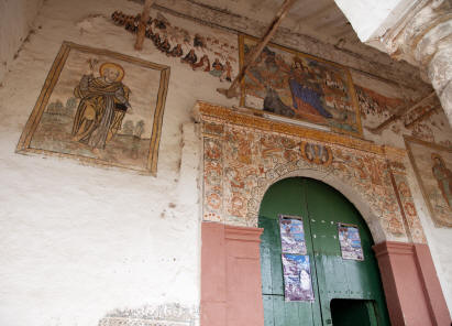
hub outside of the Cusco Valley. In addition to the 16th Century church built by
the Spanish, Inca ruins of the palace from the 10th Incan ruler Tupac Yupanqui
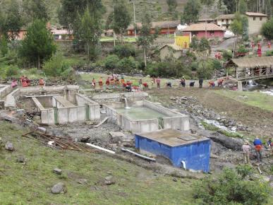
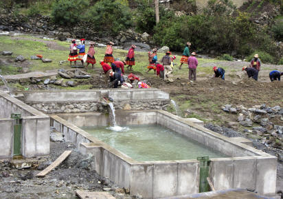
remain as a symbol of the pre-colonial times. There is a large private water
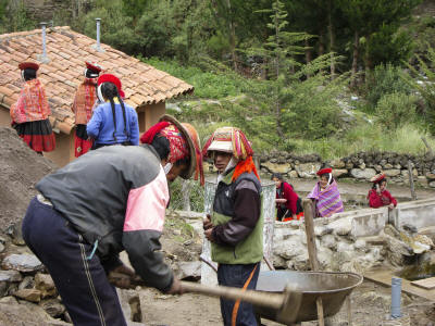
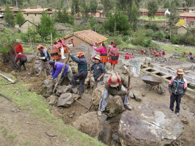
project being constructed across the Sacred Valley and villages like Chincheros
is benefiting from money spent on road construction and municipal upgrades.
There is even talk of siting an airport on the Pampa.
We return to spend several days in Cusco before starting our Inca Trail hike
into Machu Picchu. Our hotel, La Casona, is situated in the heart of the old
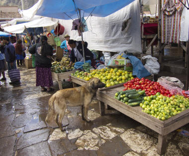
town, a block away from the main square, Plaza de Armas. We stop for a visit to
the town’s permanent market before calling it a day. Dinner was at Chi Cha owned
by Gaston who is also affiliated with Le Mer in San Francisco.
On to Cusco
|