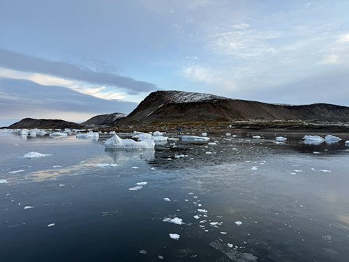
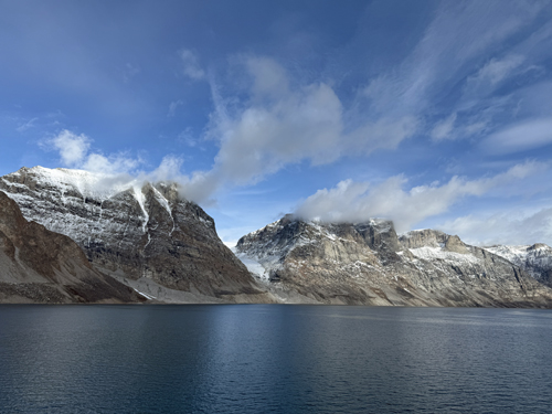
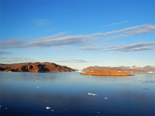
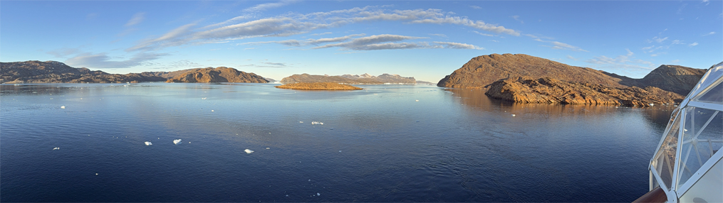
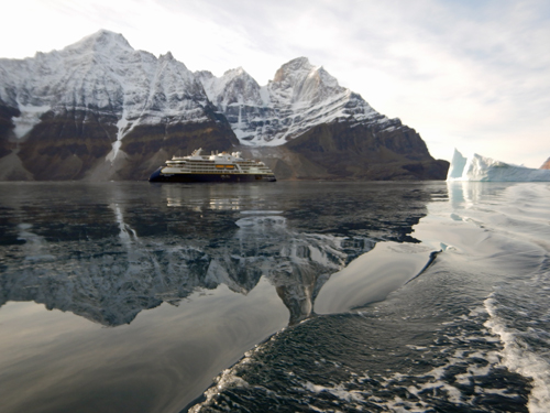
Buchan Gulf
After a sea day, we explored some fjords in the Buchan gulf area. We got a chance to kayak then did some cruising from the ship to see some very scenic fjords. Here is Care's Rizbee on the Road blog for Buchan Gulf
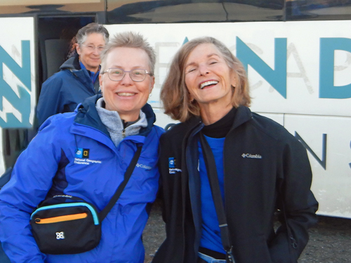
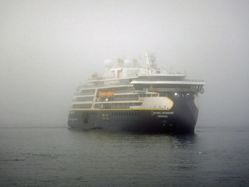
September was a continuation of our High Arctic Expedition on the National Geographic Endurance.
Buchan Gulf
After a sea day, we explored some fjords in the Buchan gulf area. We got a chance to kayak then did some cruising from the ship to see some very scenic fjords. Here is Care's Rizbee on the Road blog for Buchan Gulf
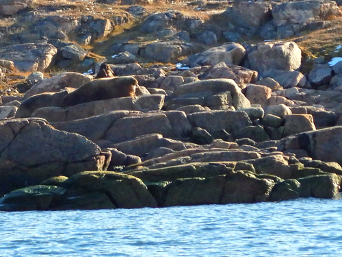
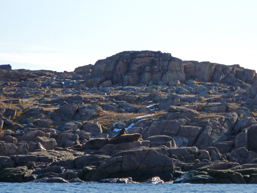
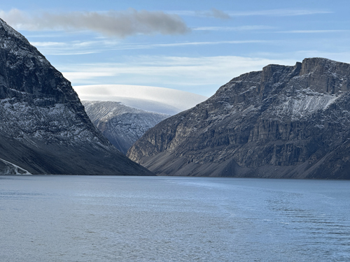
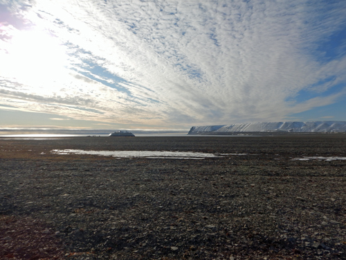
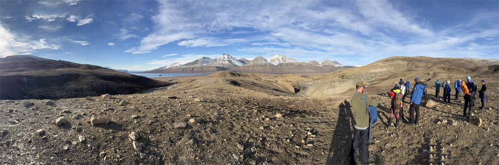
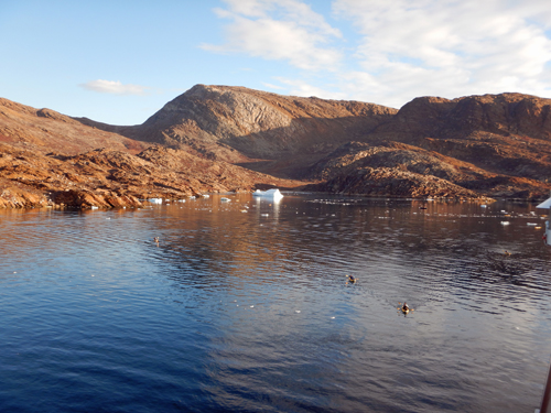
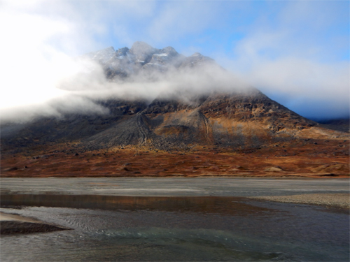
Bethune Inlet
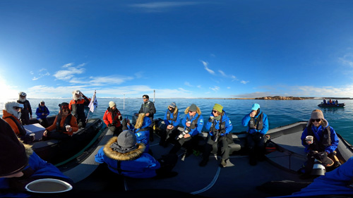
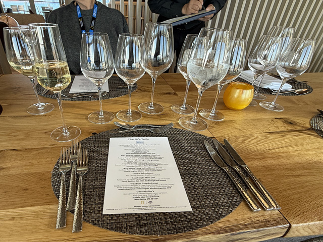
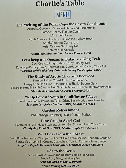
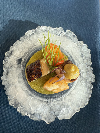
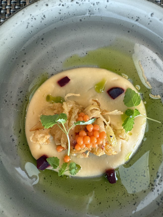
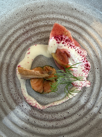
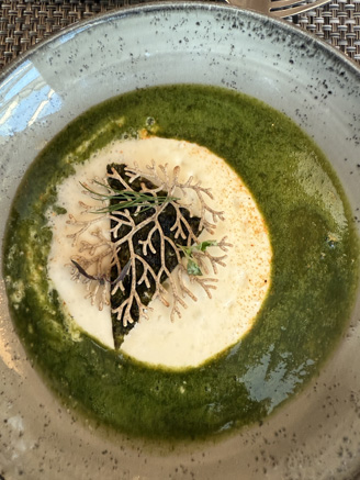
We take a zodiac cruise out into a pretty featureless inlet but do find some walrus hiding in the rocks along the shore. In the evening we have a special "Charlie's table" chef's menu themed around "The Melting of the Polar Caps The Seven Continents". This is a tradition on the Endurance and is always quite a production. Here is Care's Rizbee on the Road blog for Bethune Inlet
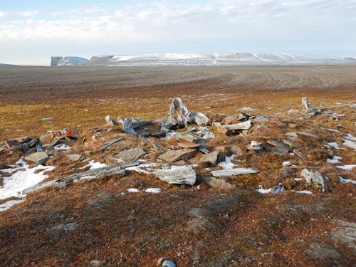
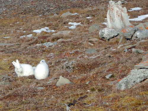
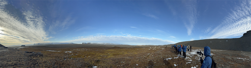
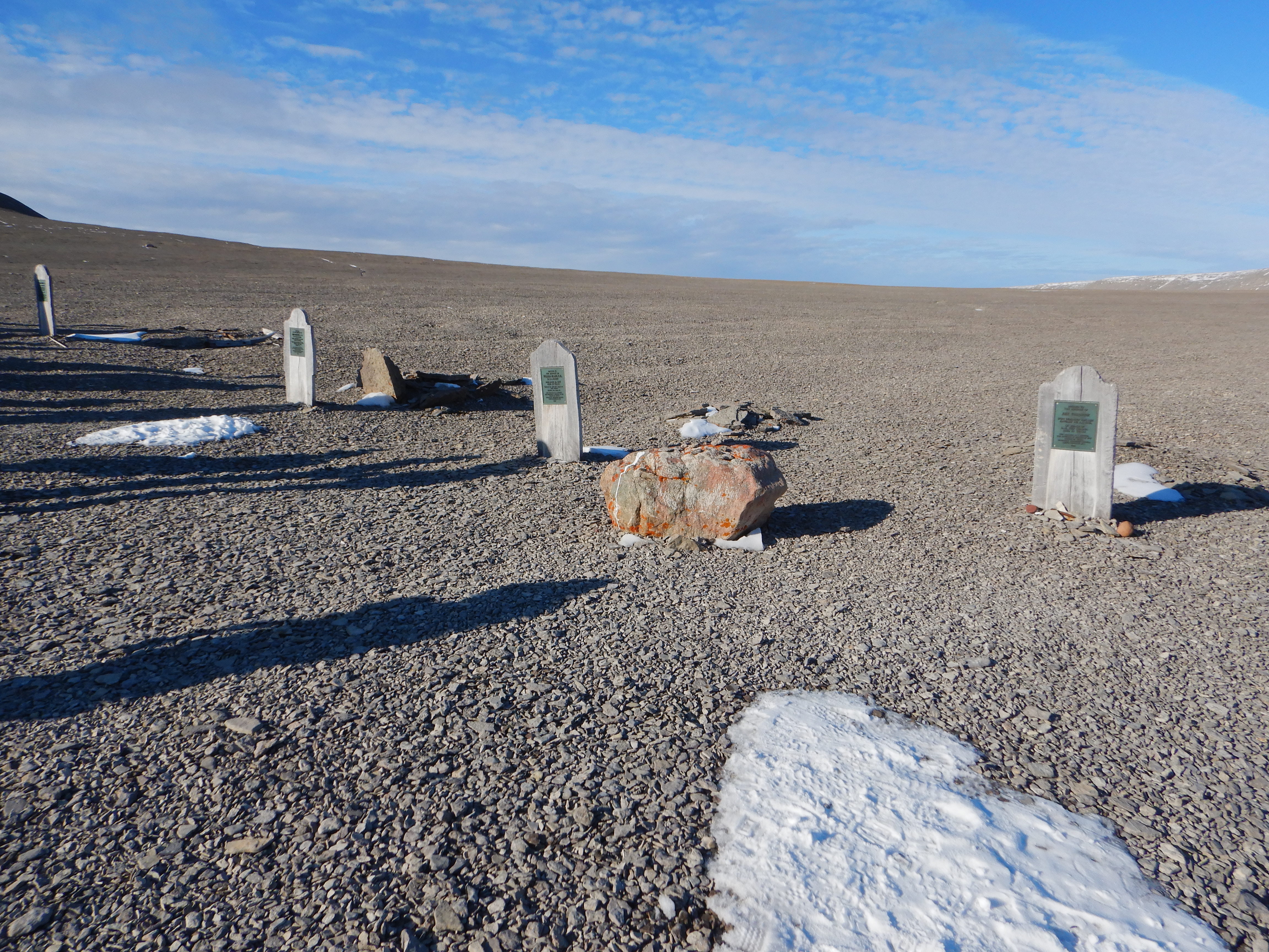
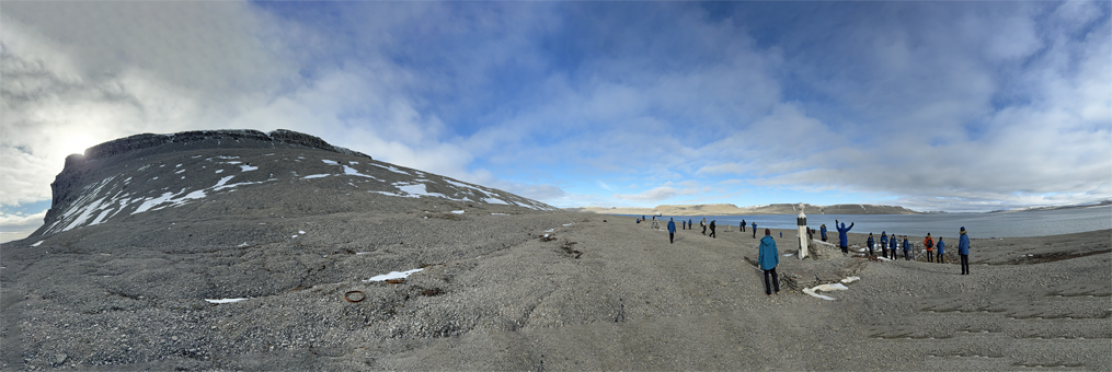
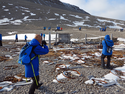
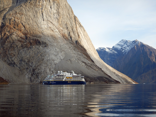
Radstock Bay, Devon Island, Beechey Island
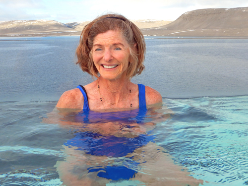
There are still signs of human habitation as we move north. At Radstock bay, we visited the ruins of a Thule settlement on a vast plain. While there, we were entertained by some very active Arctic hares. Then we sailed over to Beechey Island where we visited the graves of several men from the Franklin expedition. We walked up the beach to the ruins of a settlement called the Northumberland house. We capped the day off with a dip in the ship's spa. Here is Care's Rizbee on the Road blog for Radstock Bay
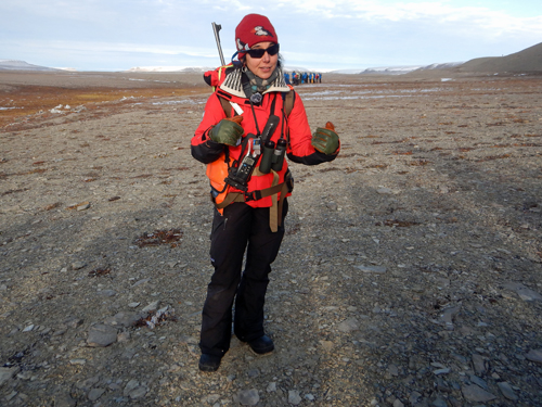
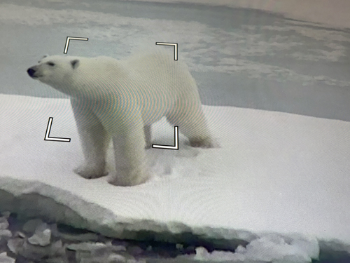
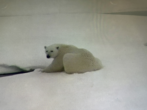
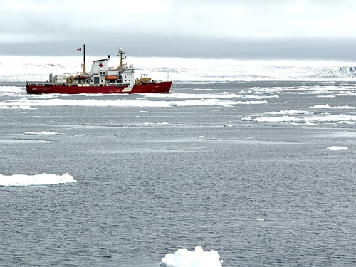
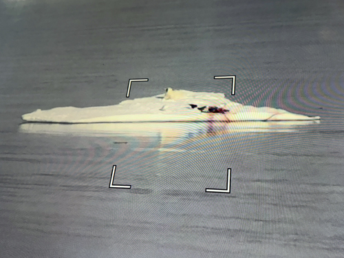
Wellington Channel
This was a bear day. We saw a single polar bear followed by a group of three as we made our way north. The bears were hard to capture on our cameras but the ship's camera could zoom in and we could take pictures of the display. We also saw a Canadian coast guard ship go by - the last ship we would see this far north. Here is Care's Rizbee on the Road blog for Wellington Channel
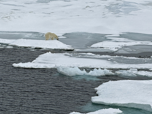
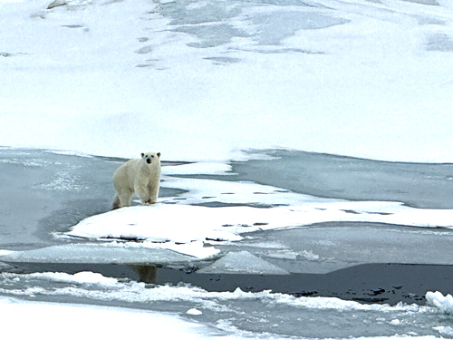
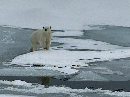
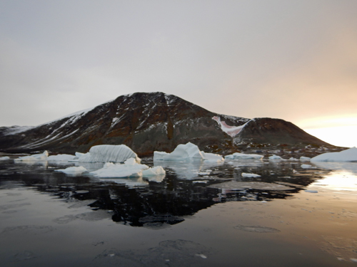
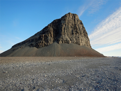
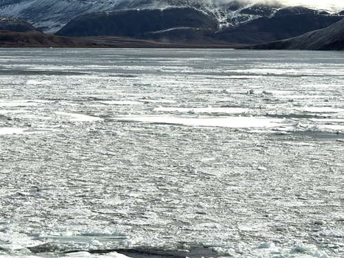
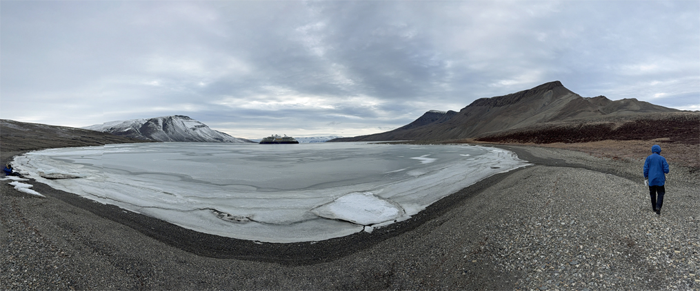
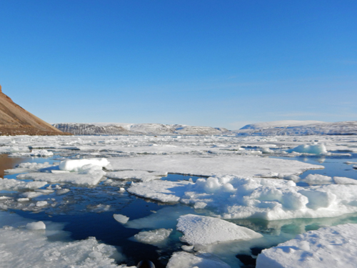
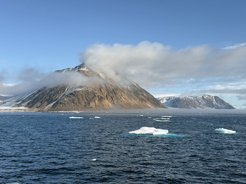
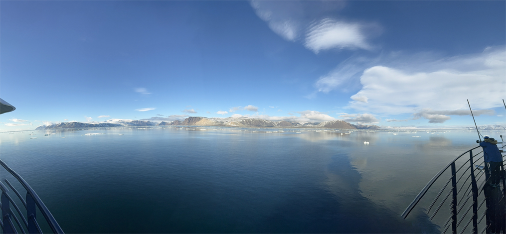
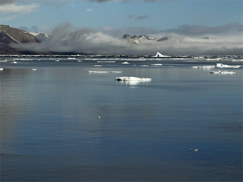
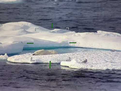
Norwegian Bay
We spotted a polar bear ont the pack ice but could not get too close. As we went through the pack ice, we did see a seal hole with polar bear tracks around it. Seals create the holes for breathing and the bears find them and camp out at the hole waiting for the seal. Later we went into a nice bay. The weather was cold and foggy but we did do a hike on the tundra. We were pretty far north but still found some trash left by hunters. Here is Care's Rizbee on the Road blog for Norwegian Bay

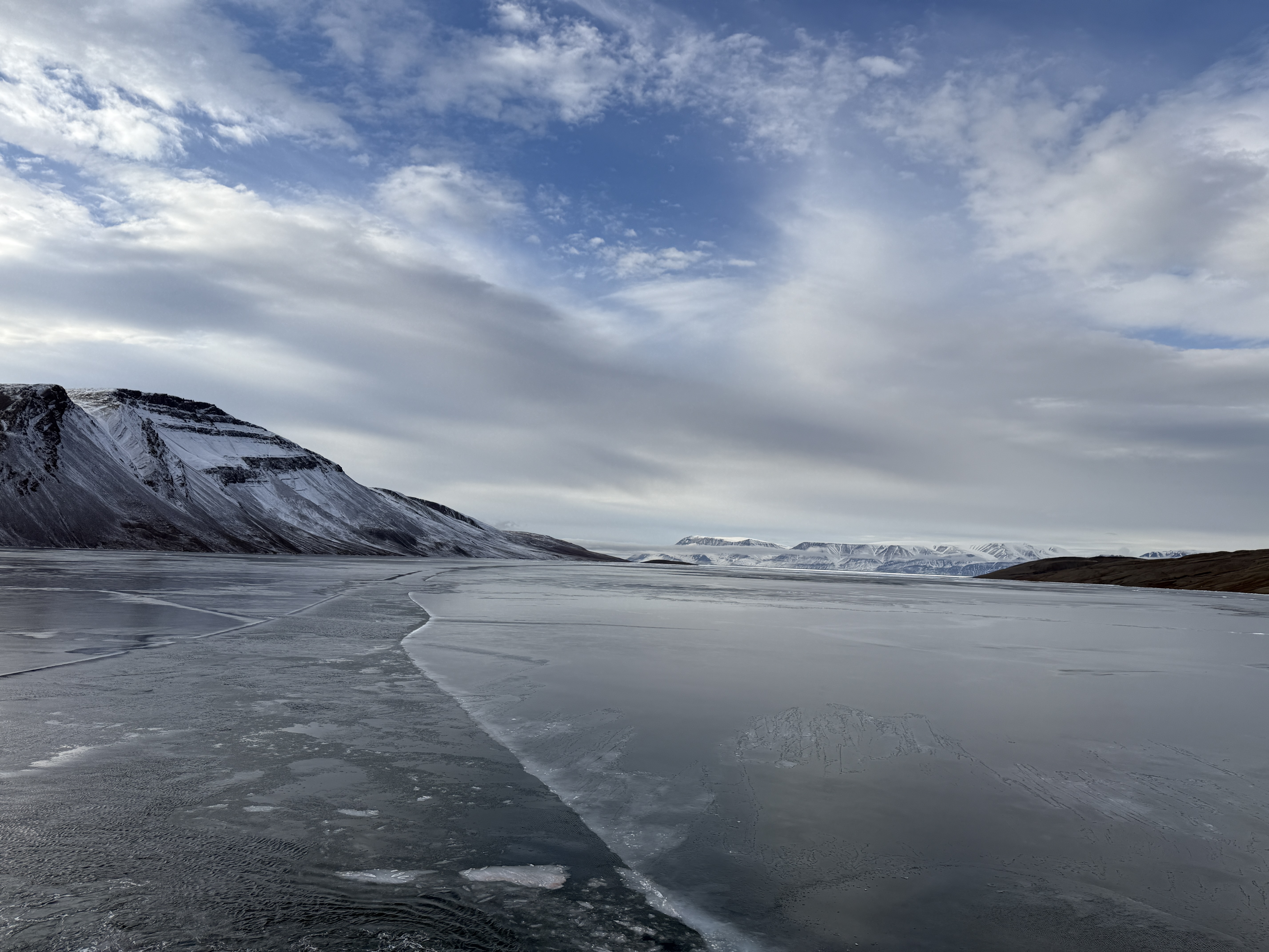
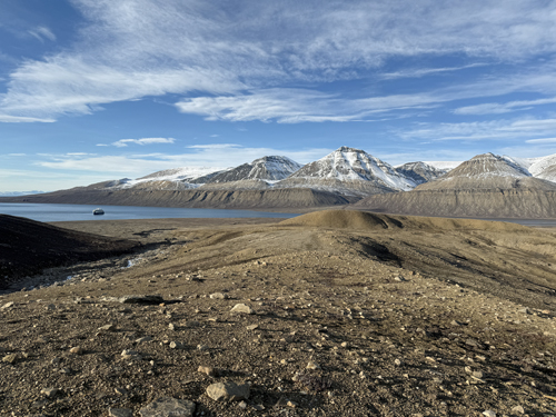
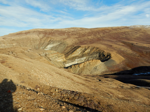
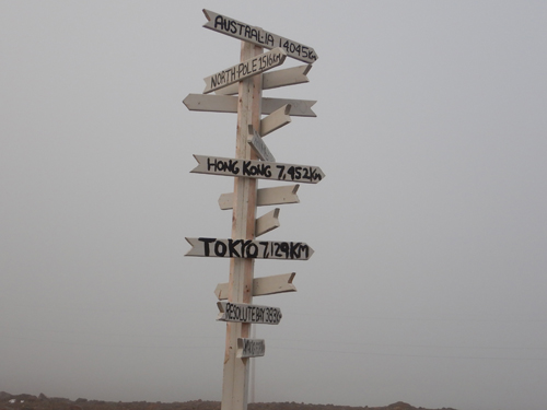
Eureka Sound
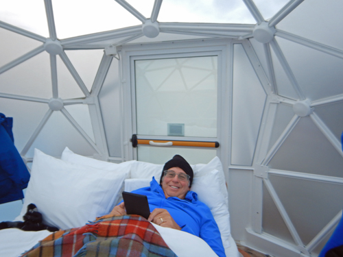
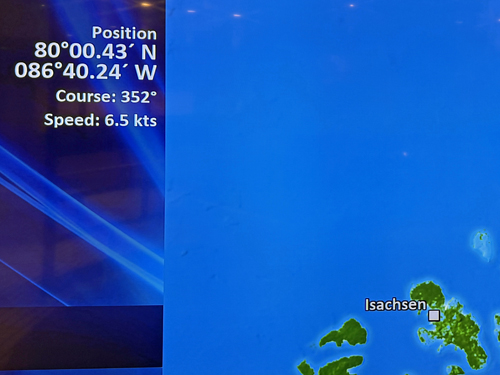
We woke up in Eureka Channel just south of 80o north, which was to be our furthest north. We had spent the night in the igloo on the stern of the ship. The captain waited until we were awake and then took us up to 80o north. Later in the afternoon we did a very rigorous hike across the tundra. Here is Care's Rizbee on the Road blog for Eureka Sound.
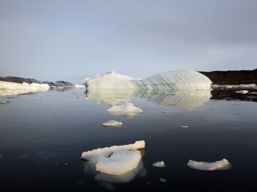
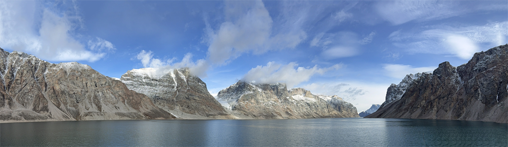
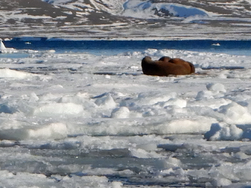
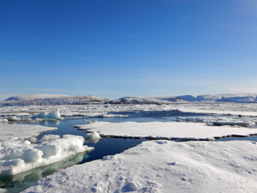
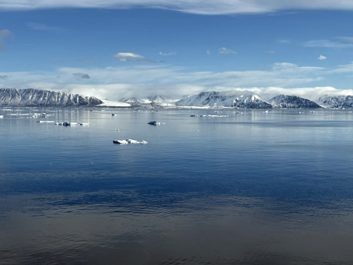
Jones Sound
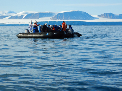
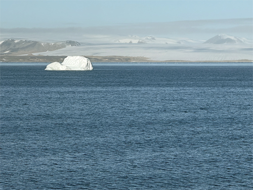
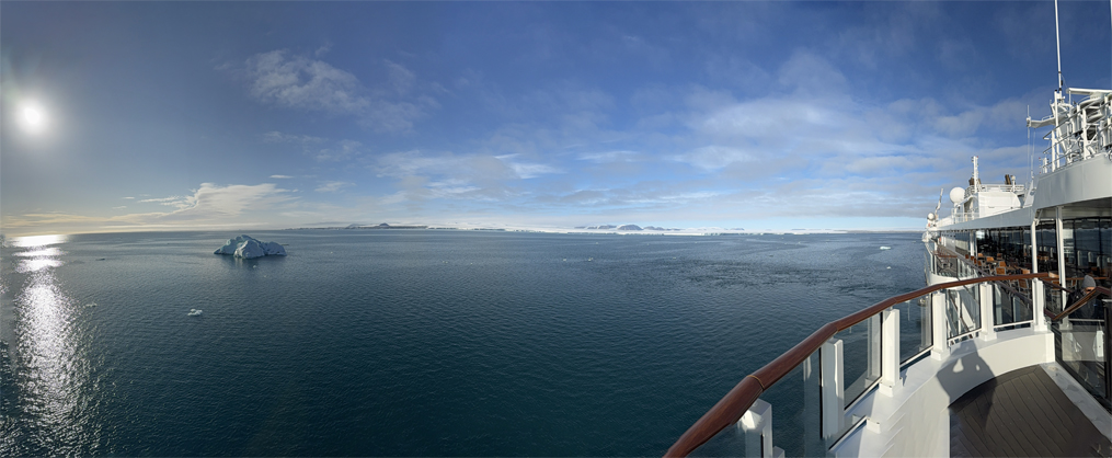
We turn back south through Eureka Sound and Jones sound and eventually through a passage called Hell Gate. We encounter some pack ice and launched the zodiaks in search of wildlife. We found some walruses lounging on the ice. Here is Care's Rizbee on the Road blog for Jones Sound
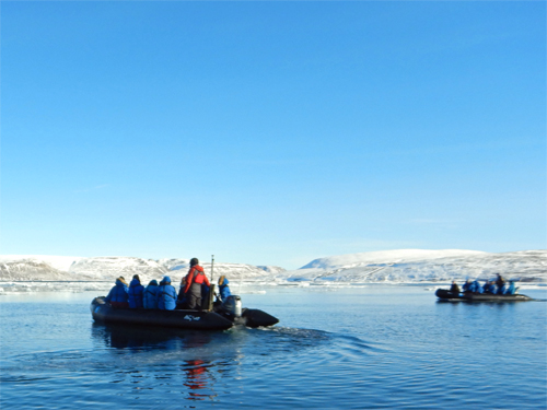
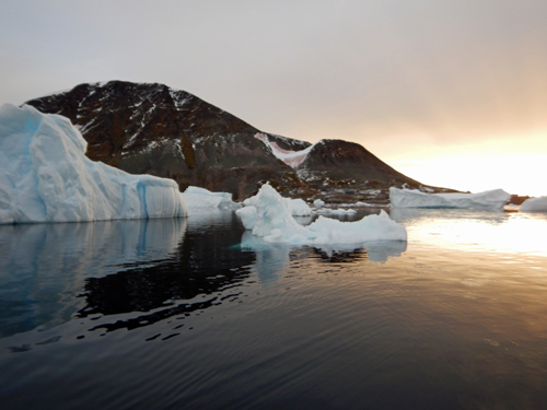
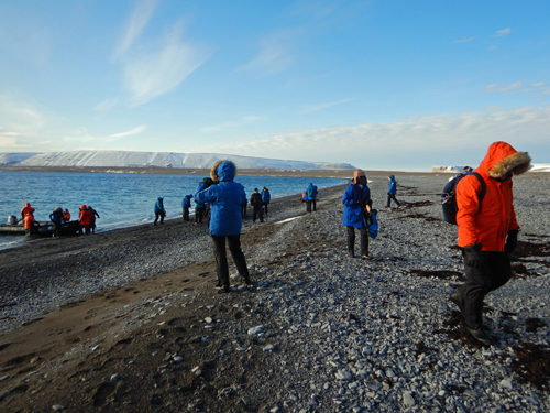
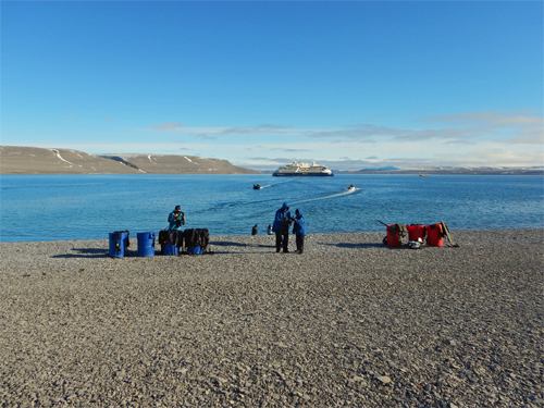
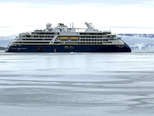
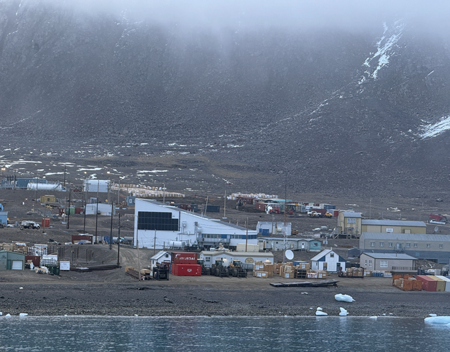
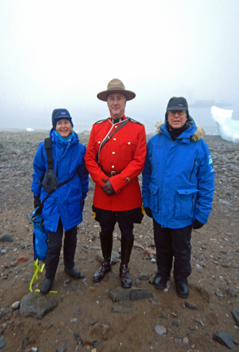
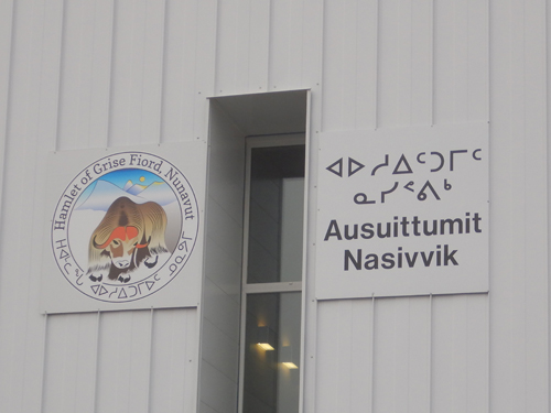
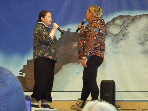
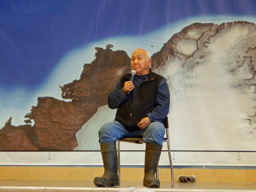
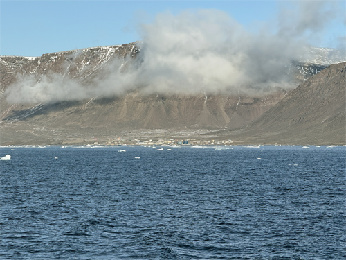
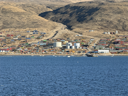
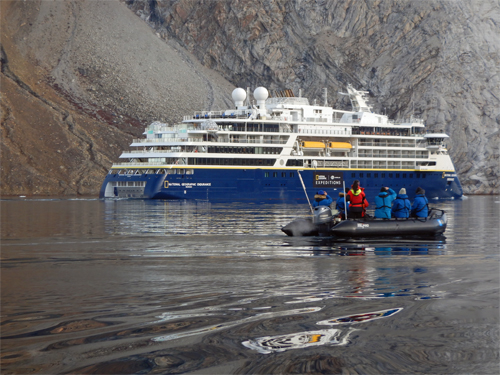
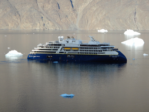
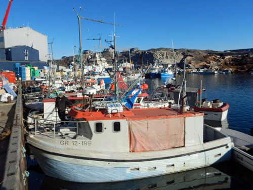
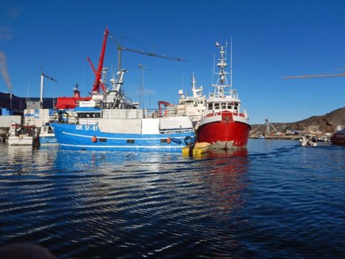
Grise Fjord
We arrived at the tiny hamlet of Grise Fjord, the most isolated village in Canada, on a very foggy morning. A supply ship had also arrived so our ship's crew had to coordinate our landing with them. We took zodiaks ashore and did a tour of the village followed by a cultural presentation the local community center. By lunch, the fog lifted and it was a beautiful, sunny day. Grise Fjord and its surroundings were spectacular. We embarked east to Fram Fjord where we spent the afternoon in the ice looking for walrus, seals, and polar bears. After Fram Fjord, we departed Canada for Greenland. Here is Care's Rizbee on the Road blog for Grise Fjord and Fram Fjord.
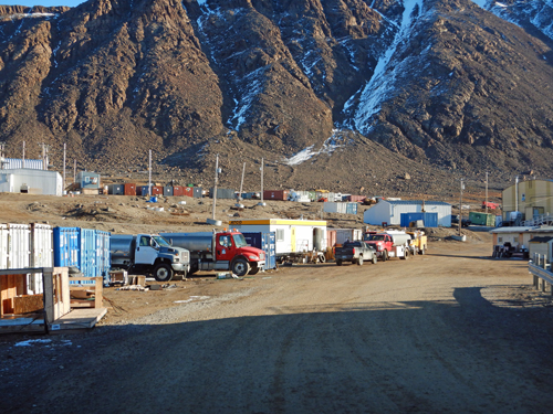
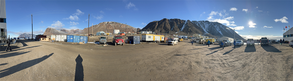
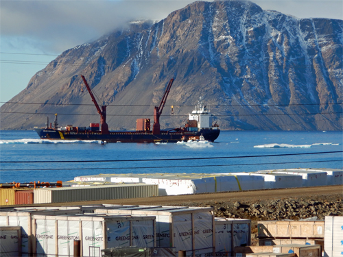
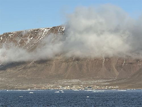
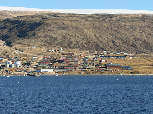
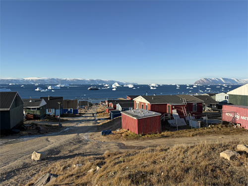
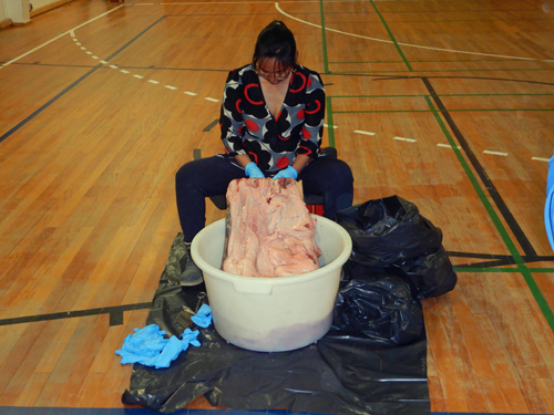
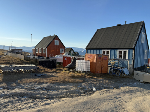
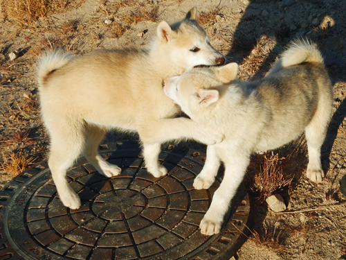
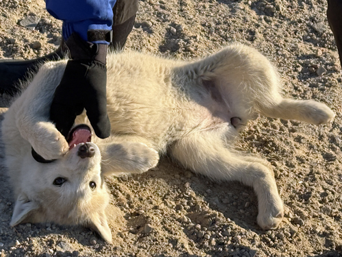
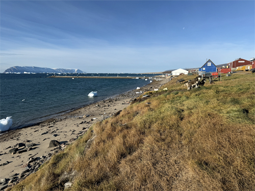
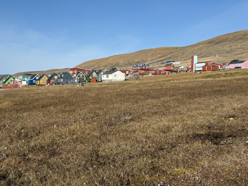
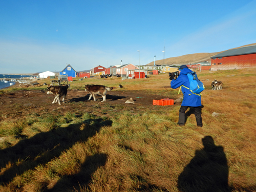
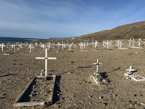
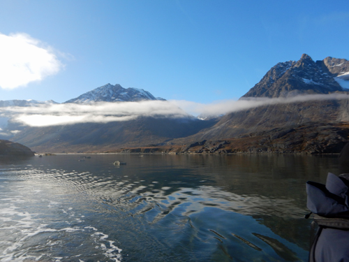
Qaanaaq
We crossed the Nares Strait at the Northern End of Baffin Bay and arrived at the town of Qaanaaq, in Greenland. Qaanaaq, a very small town of ~650 people is the northnmost town in Greenland and one of the northernmost settlements in the world. The town was created in 1953 when the local people were forcibly relocated from Thule to make room for the US Thule Air Force Base (now Pittufik Space Base). We went ashore to a cultural show (including a demonstration of seal skinning) and did a hike along the shore to the local cemetary. The town is on a fjord and the view was spectacular. Sled dogs are used extensively in Qaanaaq and are staked out in plots of land on the outskirts of town. Puppies run freely in town, much to Care's delight. The town, like most Greenlandic towns, is on a small strip of tundra, with the Greenlandic Ice Sheet beginning up the mountain right behind the town. Here is Care's Rizbee on the Road blog for Qaanaaq.

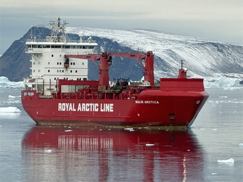
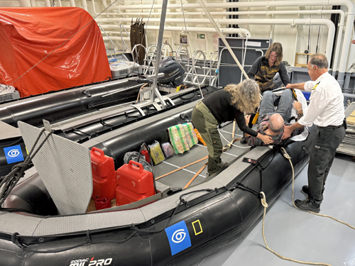
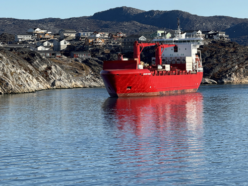
Cape York
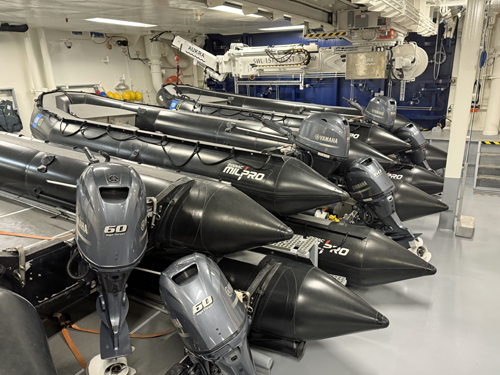
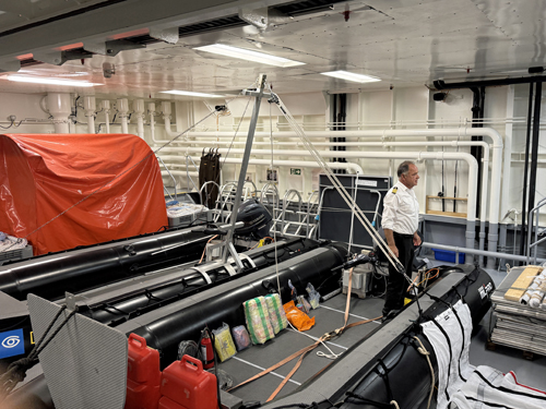
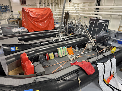
We woke up just off the tiny settlement of Savissivik, where we took a zodiak ride through the glassy water and between large icebergs. Some of our group kayaked but we did not. We did not land so as to not disturb the residents. As we prepared to leave, a supply ship arrived to resupply the settlement. That afternoon we did a below decks tour of the engine room and garage - where Captain Oliver demonstrated rescue techniques and survival gear onboard. Here is Care's Rizbee on the Road blog for Cape York.
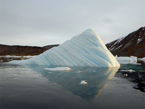
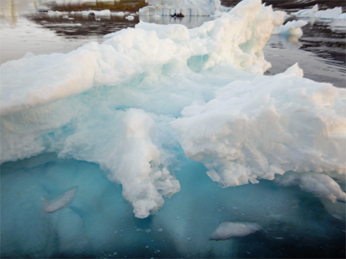
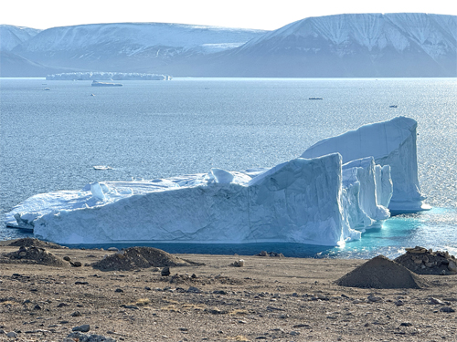
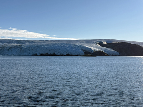
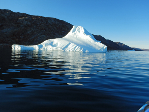
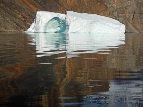
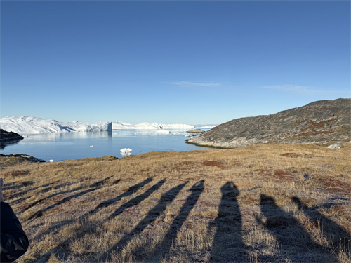
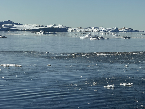
Inugsulik Bugt
We went through a narrow channel called Inugulik Bugt to very calm glass water where the Greenland ice sheet came right down to the water. It was a beautiful, sunny morning. Some kayaked and we took a zodiak cruise to see the ice sheet and iceburgs. Here is Care's Rizbee on the Road blog for Inugsulik Bugt.
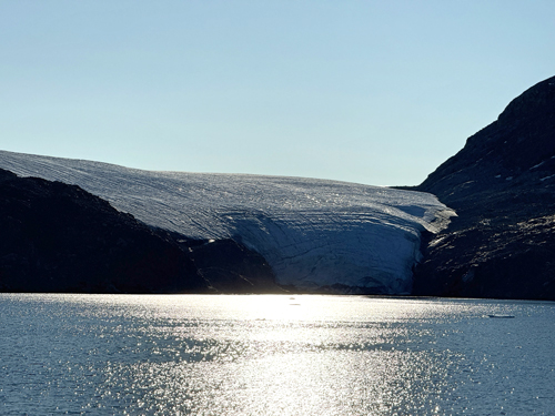
Open Glacier 360 in new tab on YouTube for full 360° / VR controls
Open Iceberg 360 in new tab on YouTube for full 360° / VR controls
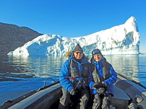
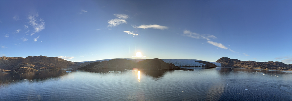
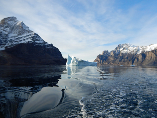
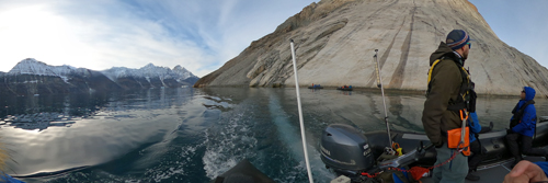
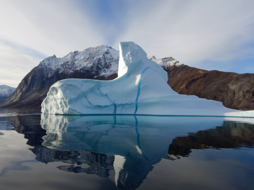
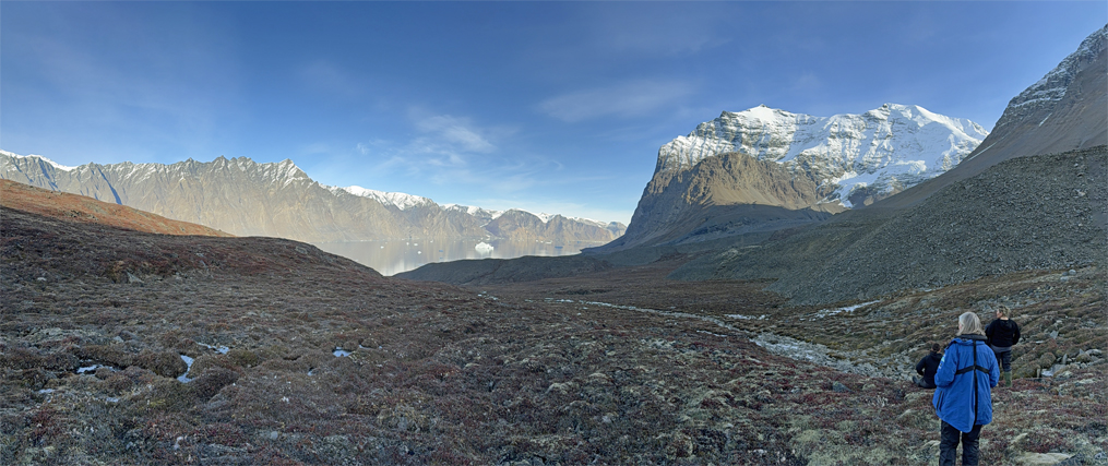
Inukassaat Sulluat
The ship went through a narrow passage and dropped off the zodiaks. We took a zodiak cruise through the passage and met the ship further into the fjord. We had nice views and iceburgs. The scale was incredible. Later in the day, after lunch, we did a nice hike up on the tundra. Here is Care's Rizbee on the Road blog for Inukassaat Sulluat.
Open Fjord Cruise 360 1 in new tab on YouTube for full 360° / VR controls
Open Fjord Cruise 360 2 in new tab on YouTube for full 360° / VR controls
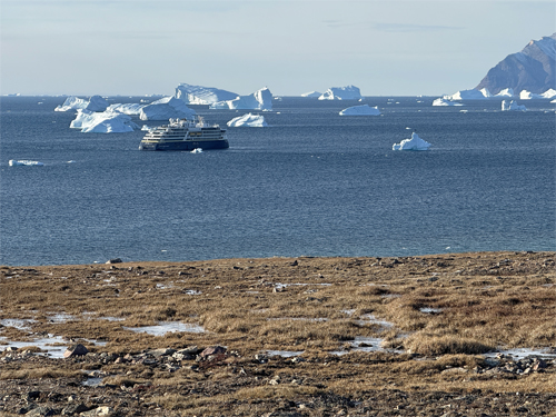
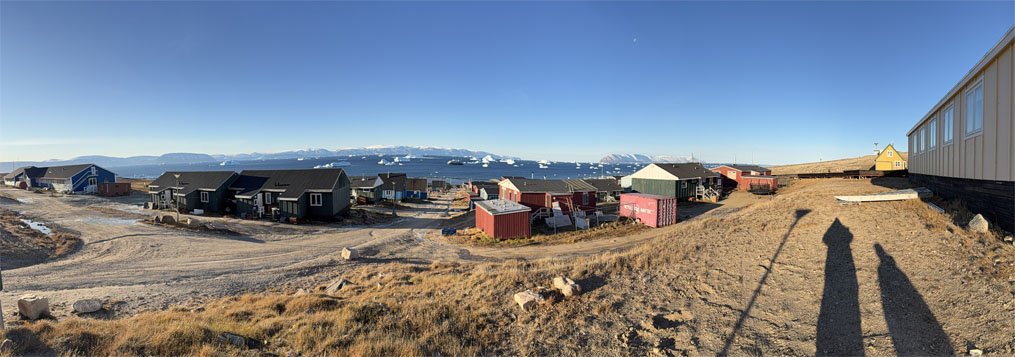
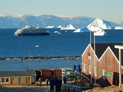
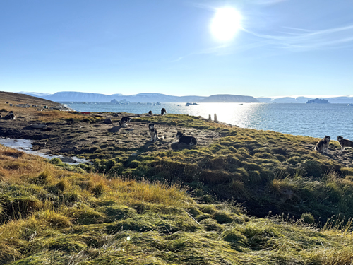
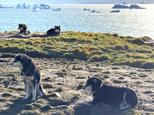
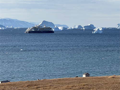
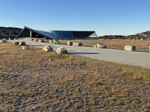
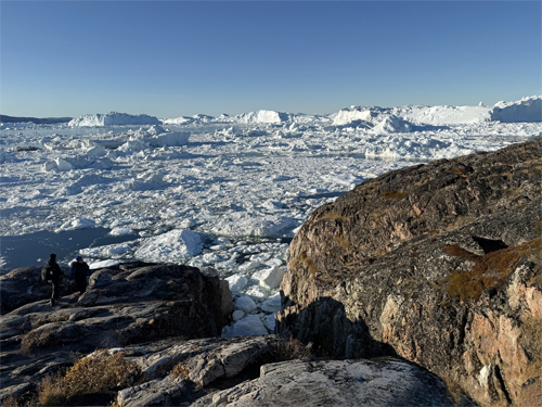
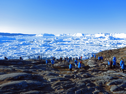
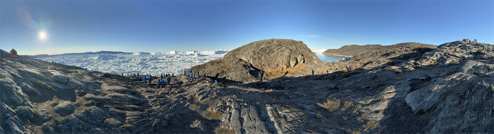
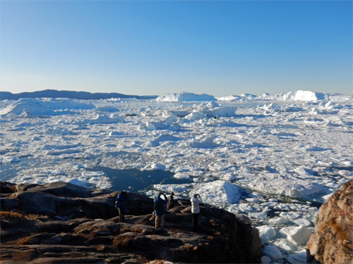
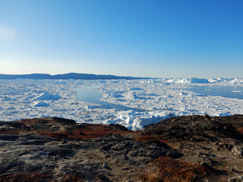
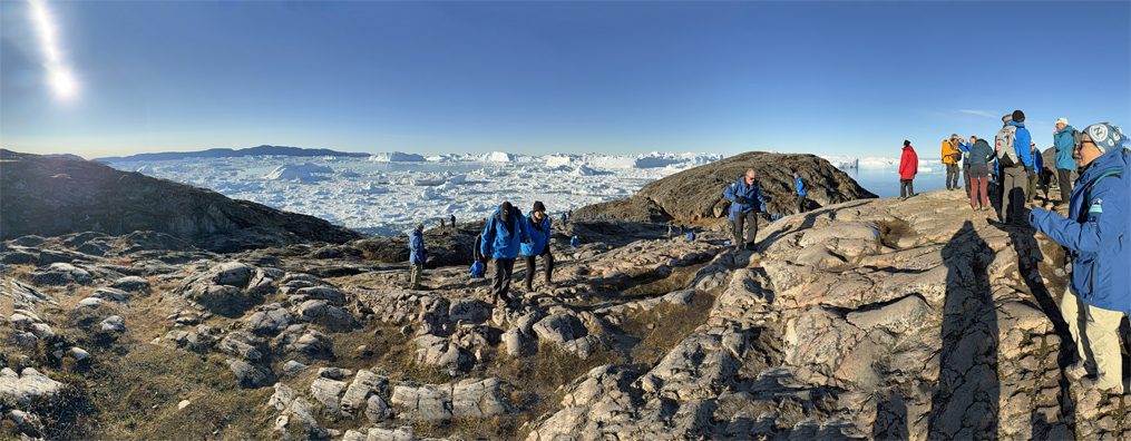
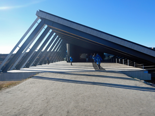
Ilulissat
We arrived at Ilulissat, Greenlands's third-largest city (pop ~5,150), and home to the Ilulissat Icefjord, a UNESCO World Heritage site and location of a glacier that flows at 25-30 meters/day, calves off icebrgs at fill the fjord, float out into Disko Bay, and float south toward the Atlantic Ocean. We toured the icefjord and saw a new museum and visitor center built for the Icefjord. We took a ride back to the dock through town and saw many many Greenlandic Huskies (Iluissat is said to have as many huskies as people). It was a beautiful, sunny day - making the views of the Icefjord spectacular. Here is Care's Rizbee on the Road blog for Ilulissat.
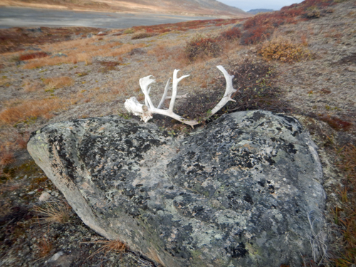
Itilleq
For our last full day on the ship, we parked in a deep fjord and did one final tundra hike. We found evidence that hunters frequented this fjord. In the evening, we had one final birthday celebration as we prepared to disembark the next day.Here is Care's Rizbee on the Road blog for Itilleq.
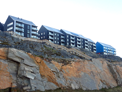
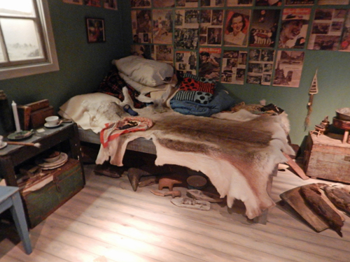
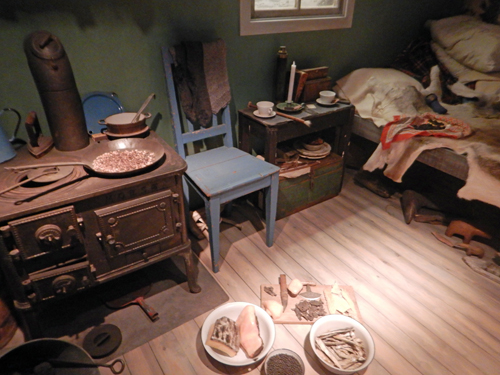
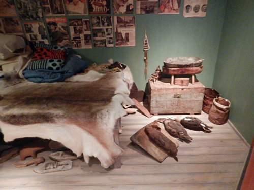
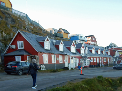
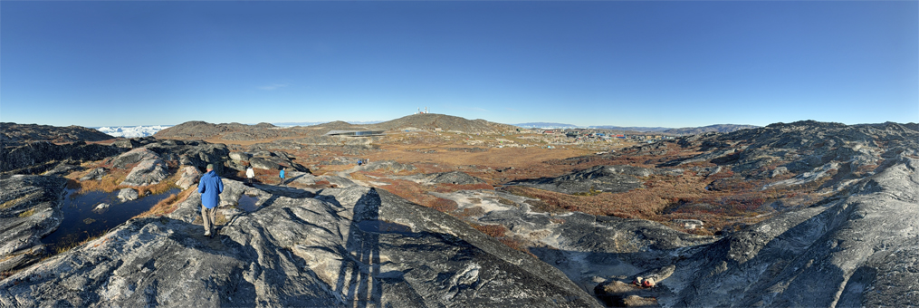
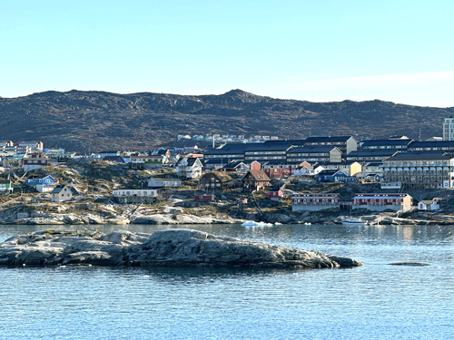
Nuuk
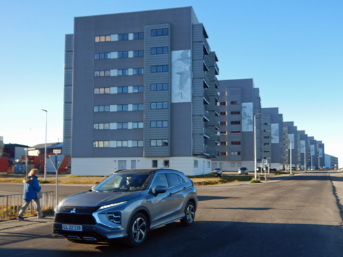
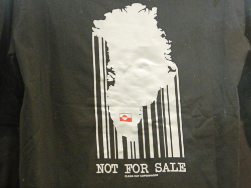
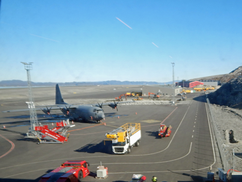
Our expedition ended in Nuuk, Greenland's capital. We disembarked early in the morning and did a driving tour around Nuuk. Because of the harsh climate and limited available land, there were a lot of government-built housing blocks (although a few single-family homes). We toured the National Museum and Archive which had some really good exhibits showing how early inhabitants of Greenland lived. We did a brief shopping excursion in Nuuk's tiny commercial district (where we saw a t-shirt with a political opinion) before heading out to the Nuuk Airport - with a newly (one year) opened 7000' runway. From Nuuk, we flew back to Iceland where we spend the night before flying home. Here is Care's Rizbee on the Road blog for Nuuk.